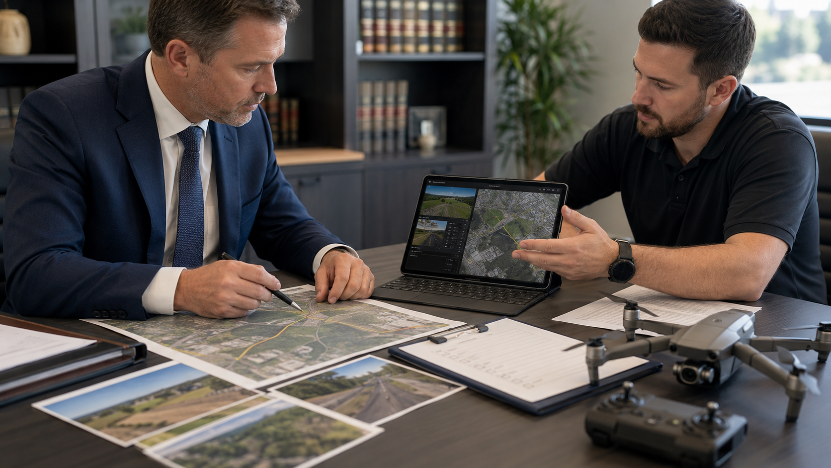
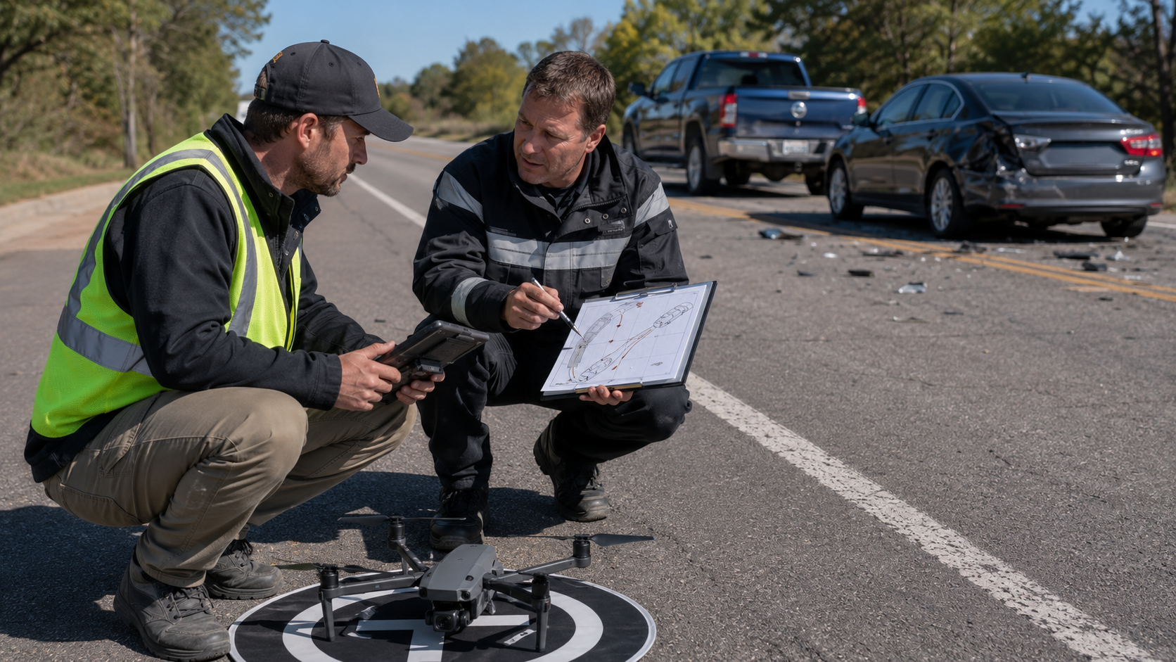
A successful drone-documentation assignment begins with a clear intake.
The more accurately the legal team explains the location, objective, deadline, and requested deliverables, the more effectively the remote pilot can plan the operation.
1. 1. Exact Location
Provide:
·
Street address
·
Intersection or roadway names
·
City and state
·
Coordinates when available
·
Nearby landmark
·
Relevant property entrance
·
Directional description
·
Map pin or marked site image
The location is needed for travel planning, airspace review, access planning, and hazard assessment.
2. 2. Incident Date and Time
Provide the known or reported:
·
Incident date
·
Approximate time
·
Day or nighttime conditions
·
Weather
·
Directions of travel
·
Roadway approaches involved
This information does not allow the provider to recreate past conditions. It helps determine which current features may require documentation and whether a separate nighttime assignment should be discussed.
3. 3. Purpose of the Assignment
Explain what the legal team needs to preserve or understand.
Examples include:
·
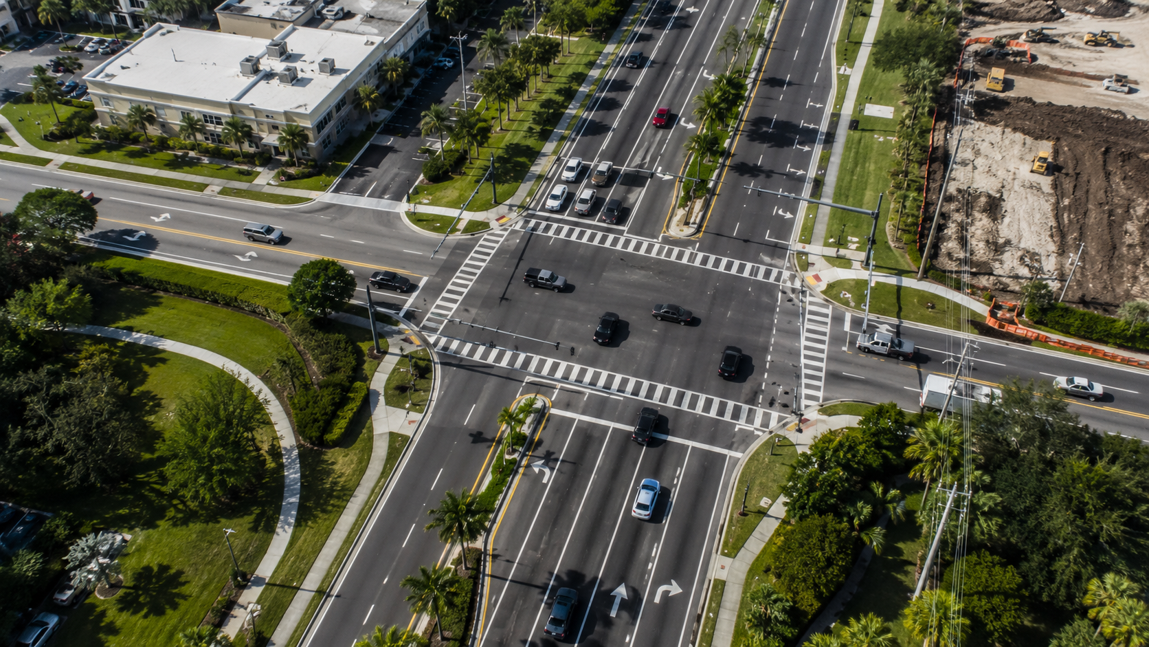
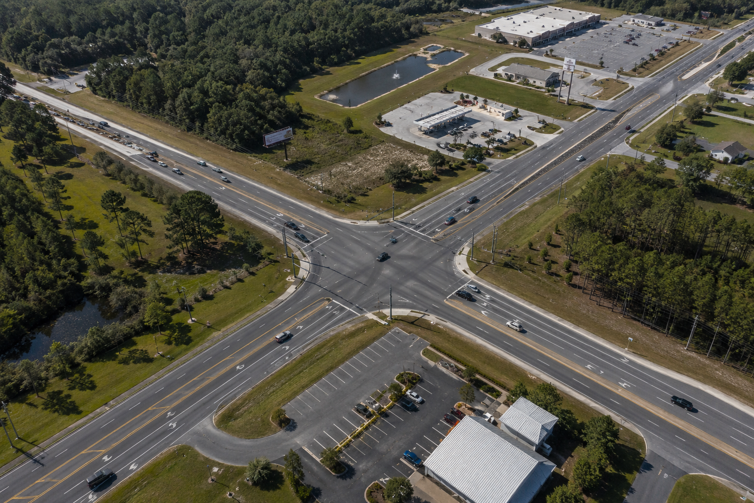
Overall intersection layout
·
Roadway approaches
·
Sightline-related features
·
Traffic controls
·
Pavement markings
·
Nearby driveways
·
Construction zones
·
Pedestrian crossings
·
Roadway curvature
·
Property relationships
·
Environmental changes
The provider should understand the objective without being asked to reach a legal or reconstruction conclusion.
4. 4. Known or Expected Changes
Identify:
·
Construction
·
Resurfacing
·
Vegetation removal
·
Sign replacement
·
Signal work
·
Demolition
·
Storm cleanup
·
Access-point redesign
·
Temporary traffic control
·
Nearby development
This information helps determine priority and whether rapid-response planning is appropriate.
5. 5. Requested Deliverables
Specify whether the client needs:
·
Aerial photographs
·
Aerial video
·
Ground-level photographs
·
Native files
·
Presentation copies
·
File inventory
·
Evidence-transfer record
·
Hash report
·
Orthomosaic
·
Three-dimensional model
·
Selected still frames
·
Secure electronic delivery
·
Physical media
Do not assume every assignment automatically includes mapping, measurements, editing, annotation, or demonstrative exhibits.
6. 6. Deadline and Intended Use
Provide:
·
Requested capture date
·
Delivery deadline
·
Expert-review deadline
·
Deposition date
·
Mediation date
·
Trial date
·
Preliminary or final use
·
Expert capture instructions
The schedule must account for travel, weather, access, airspace authorization, processing, and quality review.
7. 7. Site Access and Contacts
Identify:
·
Property owner or authorized representative
·
On-site contact
·
Access instructions
·
Parking area
·
Gated entry
·
Security requirements
·
Government control of the site
·
Known safe launch area
FAA airspace authority and permission to use property are separate issues. An airspace authorization does not provide permission to take off or land from restricted property.
8. 8. Known Aviation and Safety Concerns
Advise the provider about:
·
Nearby airports
·
Military installations
·
Heliports
·
Hospitals
·
Stadiums
·
Active emergency scenes
·
Heavy traffic
·
Utility lines
·
Crowds
·
Construction equipment
·
Limited launch areas
UAS Facility Maps are planning tools only; controlled-airspace operations still require authorization.
Operations over people and moving vehicles must satisfy the applicable Part 107 requirements.
9. 9. Client and Case Administration
Provide:
·
Law-firm name
·
Attorney or investigator
·
Matter name
·
Internal case number
·
Billing contact
·
Delivery recipient
·
Confidentiality instructions
·
File-naming requirements
·
Retention instructions
This reduces administrative errors and supports organized file handling.
Better Intake Produces Better Documentation
The provider should not have to guess which roadway approach, sign, driveway, or physical feature matters.
A concise and complete intake allows the remote pilot to prepare a safer, more focused, and more useful documentation plan.
Sources and Authorities
10. 1. Federal Aviation Administration, UAS Facility Maps.
11. 2. Federal Aviation Administration, Operations Over People and Moving Vehicles.
12. 3. Federal Aviation Administration, Temporary Flight Restrictions.
13. 4. Federal Aviation Administration, No Drone Zone and Property Restrictions.
Important Notice
Providing assignment information does not guarantee that every requested flight or perspective can be completed. Operations remain subject to law, authorization, access, weather, and safety conditions.