OUR SERVICES

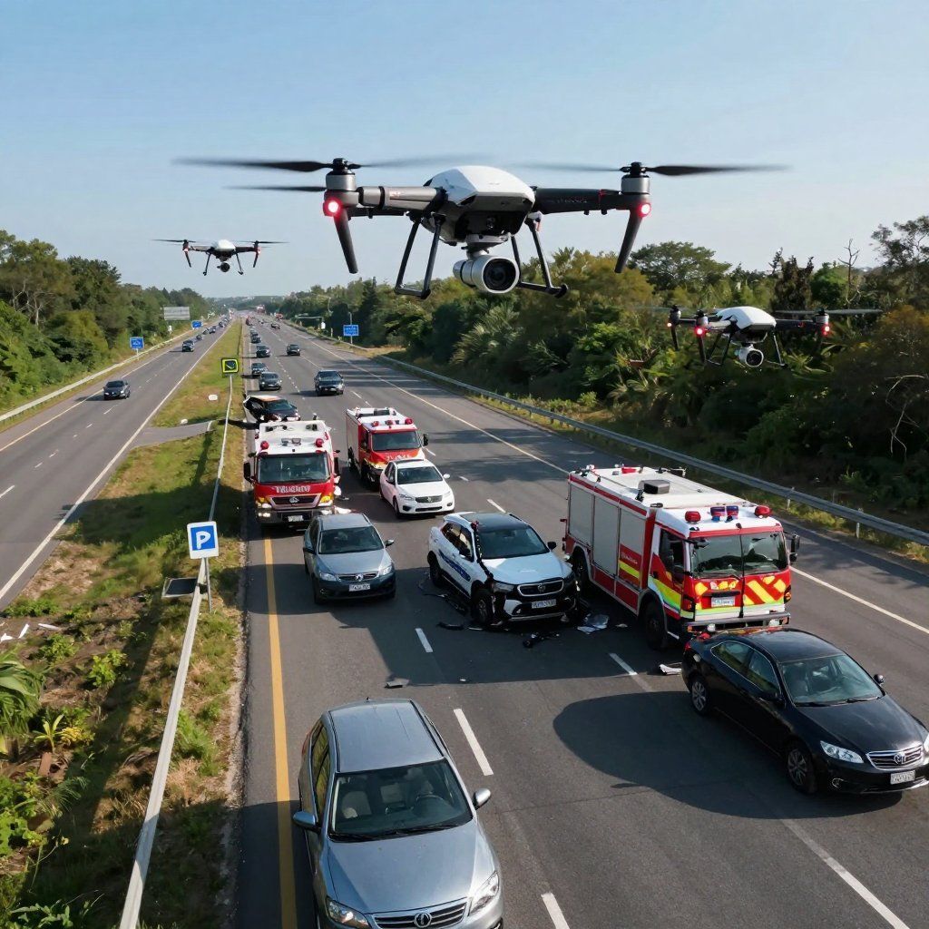
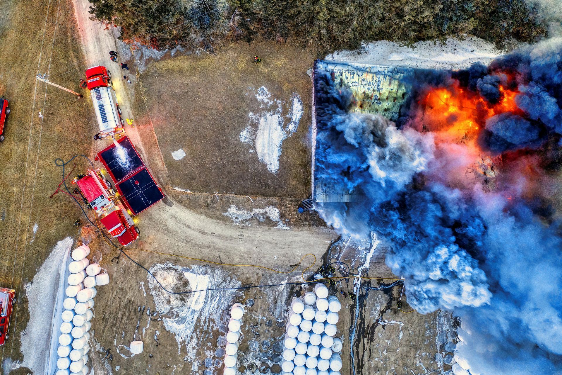
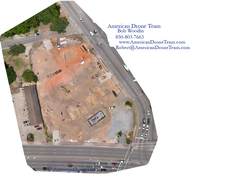
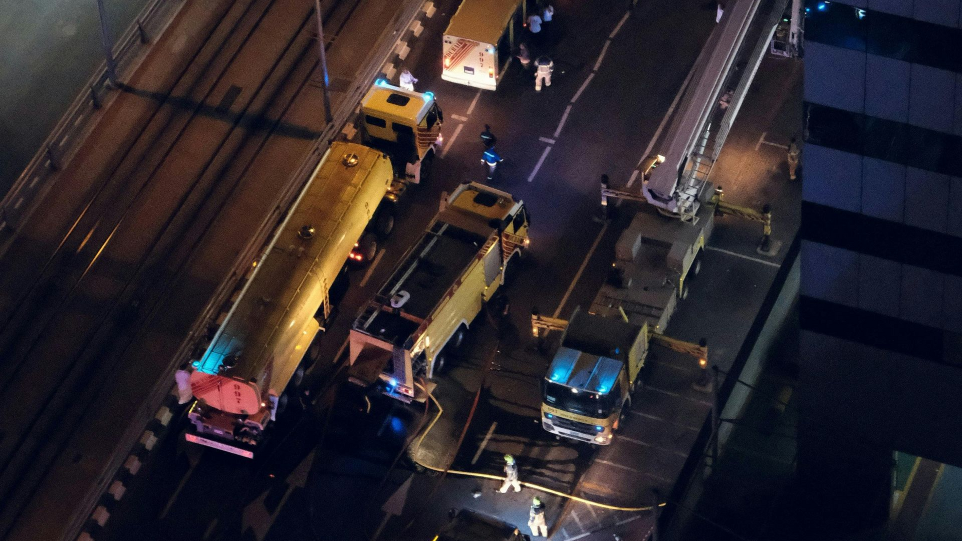
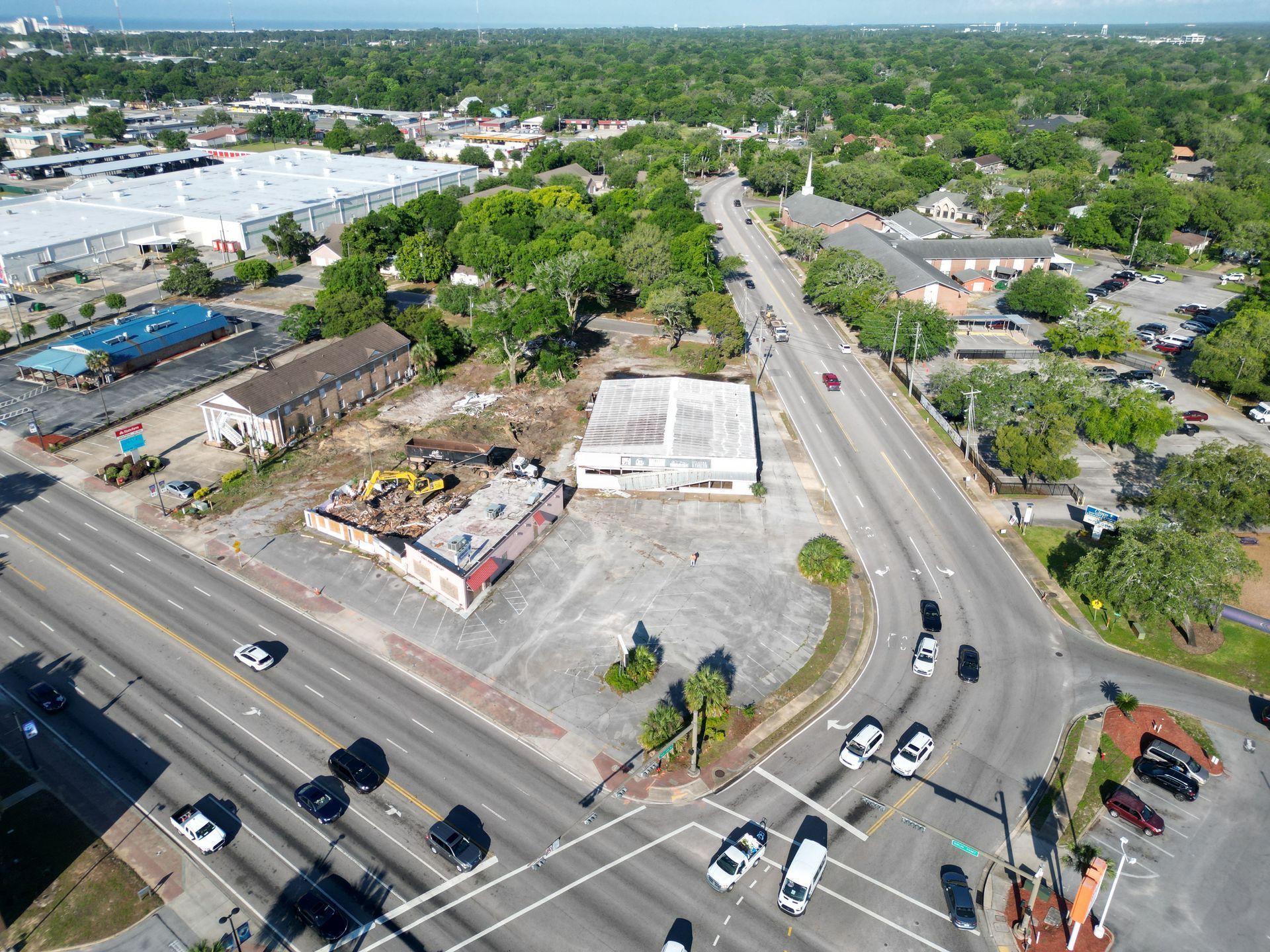
Evidence Disappears Fast. We Capture It Before It's Gone.

Skid marks fade. Vegetation gets trimmed. Sites get demolished. Six structured aerial documentation services built to preserve what matters — admissible, defensible, and ready for your expert across the Florida Panhandle.

Accident Scene Documentation

Scenes are cleared in hours. We capture skid marks, debris, and sightlines before they gone.

Scene Documentation for Investigations

Scenes are cleared in hours. We capture skid marks, debris, and sightlines before they gone.

Orthomosaic Mapping

Old surveys won't settle a boundary fight. Survey-grade orthomosaics will.

Aerial Photography & Video

Ground-level photos can't show scale. Stabilized 4k and RAW stills can.

Environmental & Sightline

Visibility, vegetation, and lighting blind spots - documented before conditions change.

Construction Progress

Same waypoints, same cadence. Defensible progress records owners and lenders can rely on.

Trusted Documentation For

Motor vehicle, premises, construction, environmental, and insurance matters

Motor Vehicle Accident Documentation

Premises Liability Documentation

Construction Documentation

Site Layout and Environmental Context

Insurance Claim Documentation

Rapid Response Available 7 Days a Week