Bob Woodin • August 5, 2026
What Attorneys Should Document
Before Roadway Conditions Change
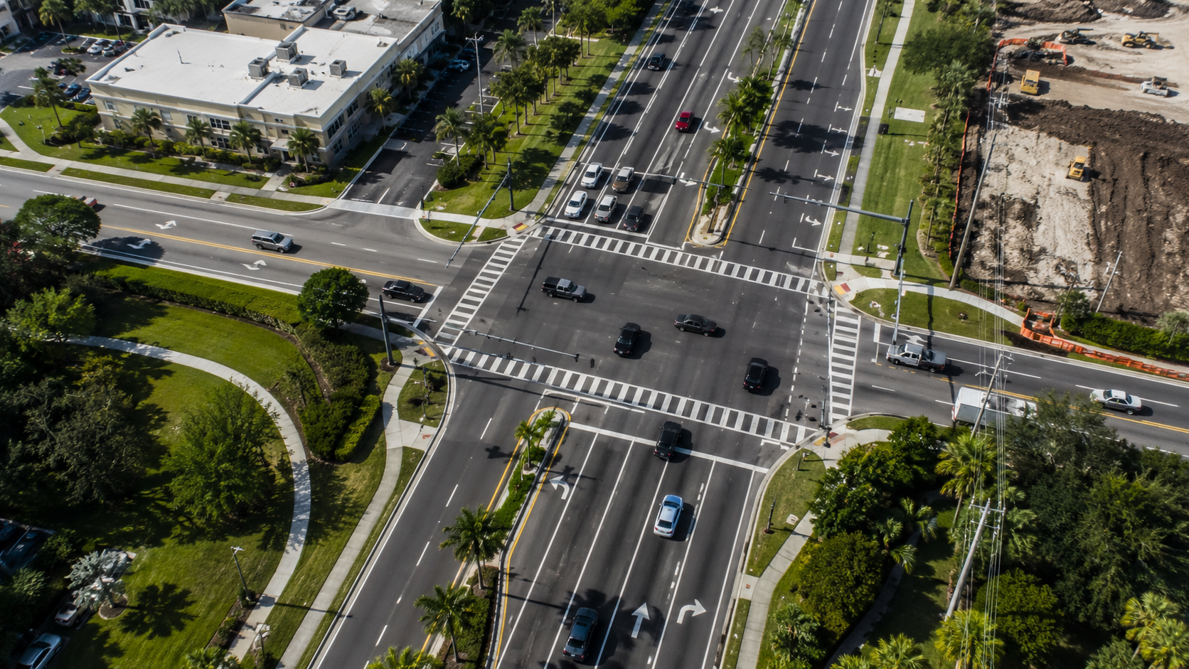
Roadways, intersections, and surrounding properties do not remain unchanged indefinitely. Pavement markings are repainted. Vegetation grows or is removed. Construction zones shift. Signs and signal equipment may be repaired or replaced. Nearby buildings, lighting, driveways, and access points may also change.
When the physical environment may become relevant to a legal matter, early documentation can preserve visible information that may be difficult—or impossible—to recover later.
Document the Complete Location
The documentation should not be limited to the reported point of impact. Depending on the case, the complete location may include:
· Each roadway approach
· Travel lanes and turn lanes
· Medians, shoulders, and merge areas
· Nearby driveways and business entrances
· Traffic signals, signs, stop bars, and pavement markings
· Crosswalks, sidewalks, and bicycle facilities
· Roadway curvature, grade, and elevation changes
· Vegetation, buildings, utility equipment, and fixed objects
· Streetlights and other visible illumination sources
· Construction devices and temporary traffic patterns
The Federal Highway Administration’s current Manual on Uniform Traffic Control Devices establishes national standards for signs, signals, pavement markings, and other traffic-control devices. The current federal edition is the 11th Edition with Revision 1, dated December 2025 and effective March 5, 2026.
Capture Context and Detail
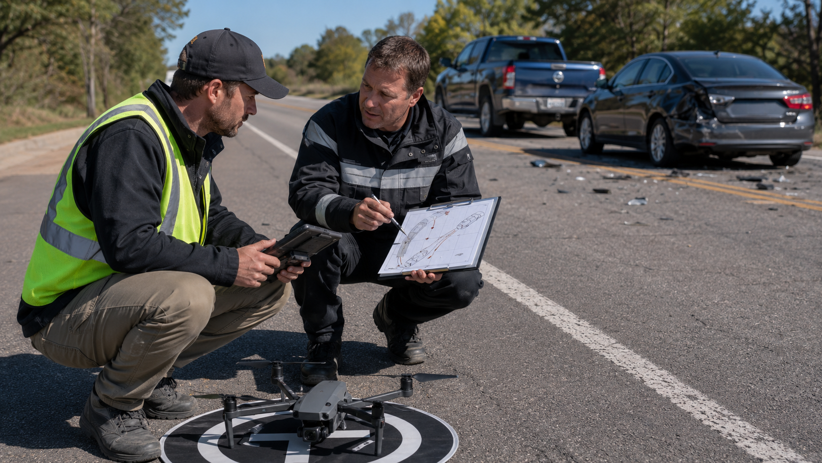
Close-up photographs are useful, but they may not explain how different roadway features relate to one another.
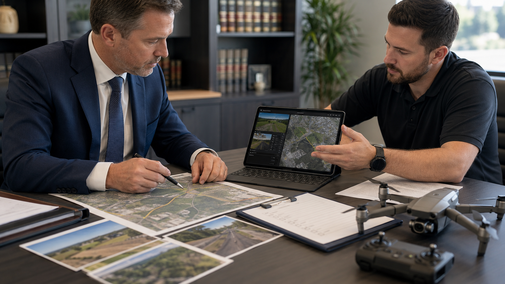
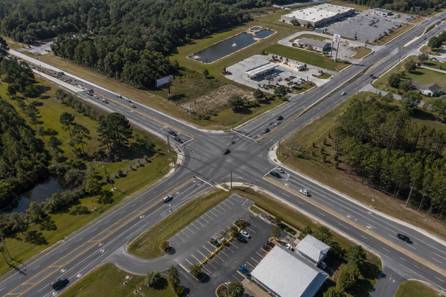
Aerial imagery can provide broader context by showing the relationship between roadway approaches, lane configurations, medians, driveways, buildings, vegetation, and traffic controls. Ground-level photographs can then document selected signs, markings, possible obstructions, and driver or pedestrian perspectives.
The objective is to create an organized visual record that allows a person unfamiliar with the location to understand its physical arrangement.
Preserve Traffic-Control Features
Relevant traffic-control documentation may include:
· Regulatory and warning signs
· Signal-head locations and orientations
· Stop and yield lines
· Directional arrows
· Lane-divider markings
· Crosswalk markings
· Raised pavement markers
· Temporary construction signs
· Cones, barricades, and channelizing devices
· Posted speed-limit signs
Each feature should be shown both individually and in relation to the roadway.
Imagery alone should not be used to determine whether a traffic-control device complied with every applicable standard. That conclusion may require measurements, maintenance records, installation records, engineering analysis, and the standards in effect on the relevant date.
Identify Potential Sightline Issues
Trees, shrubs, walls, signs, buildings, utility equipment, roadway curves, elevation changes, and temporary objects may affect visibility.
When sightlines could become important, documentation should include:
· The location of the possible obstruction
· The roadway approach from which it may be relevant
· Aerial context
· Ground-level views from selected positions
· Capture date and time
· Any known difference between current and incident-date conditions
FHWA defines intersection sight distance in relation to a driver’s ability to perceive and react to conflicting vehicles and pedestrians.
The documentation provider should not conclude what a particular driver saw, should have seen, or could have avoided. Those questions may require measurements, testimony, vehicle information, human-factors analysis, and accident reconstruction.
Identify Conditions Likely to Change
The law firm should advise the documentation provider about:
· Active or planned construction
· Roadway resurfacing
· Vegetation removal
· Sign or signal replacement
· Storm cleanup
· Temporary traffic controls
· Nearby demolition
· Property redevelopment
· Changes to driveways or access points
The incident date and documentation date must remain clearly distinguished. Later imagery should not be represented as showing the exact incident conditions unless other evidence supports that conclusion.
Preserve the Digital Record
The visual record should be supported by organized file handling. Useful practices may include:
· Retaining native camera files
· Separating originals from edited copies
· Maintaining an assignment record
· Creating a file inventory
· Recording file transfers
· Using cryptographic hash values to help verify file integrity
Florida Statute §90.901 and Federal Rule of Evidence 901 require sufficient evidence to support a finding that an item is what its proponent claims it to be.
Those rules do not guarantee admissibility. They demonstrate why proper identification, preservation, and file handling matter.
The Question to Ask
A legal team may not know at the beginning of a case which roadway feature will ultimately become important.
The better question is:
“What visible information may be lost if this location is not documented now?”
American Drone Team provides professional aerial and ground documentation for attorneys, investigators, and insurance professionals throughout the Florida Panhandle and surrounding areas.
Veteran-Owned | FAA Part 107 Certified | Commercially Insured | Rapid Response Available
Sources and Authorities
1. 1. Federal Highway Administration, Manual on Uniform Traffic Control Devices, 11th Edition with Revision 1.
2. 2. Federal Highway Administration, Signalized Intersections: Informational Guide.
3. 3. Florida Statute §90.901, Requirement of Authentication or Identification.
4. 4. Federal Rule of Evidence 901, Authenticating or Identifying Evidence.
Important Notice
This article provides general information and is not legal, engineering, surveying, human-factors, or accident-reconstruction advice.
Recent Posts