Bob Woodin • August 26, 2026
Aerial Documentation vs. Accident Reconstruction: Understanding the Difference
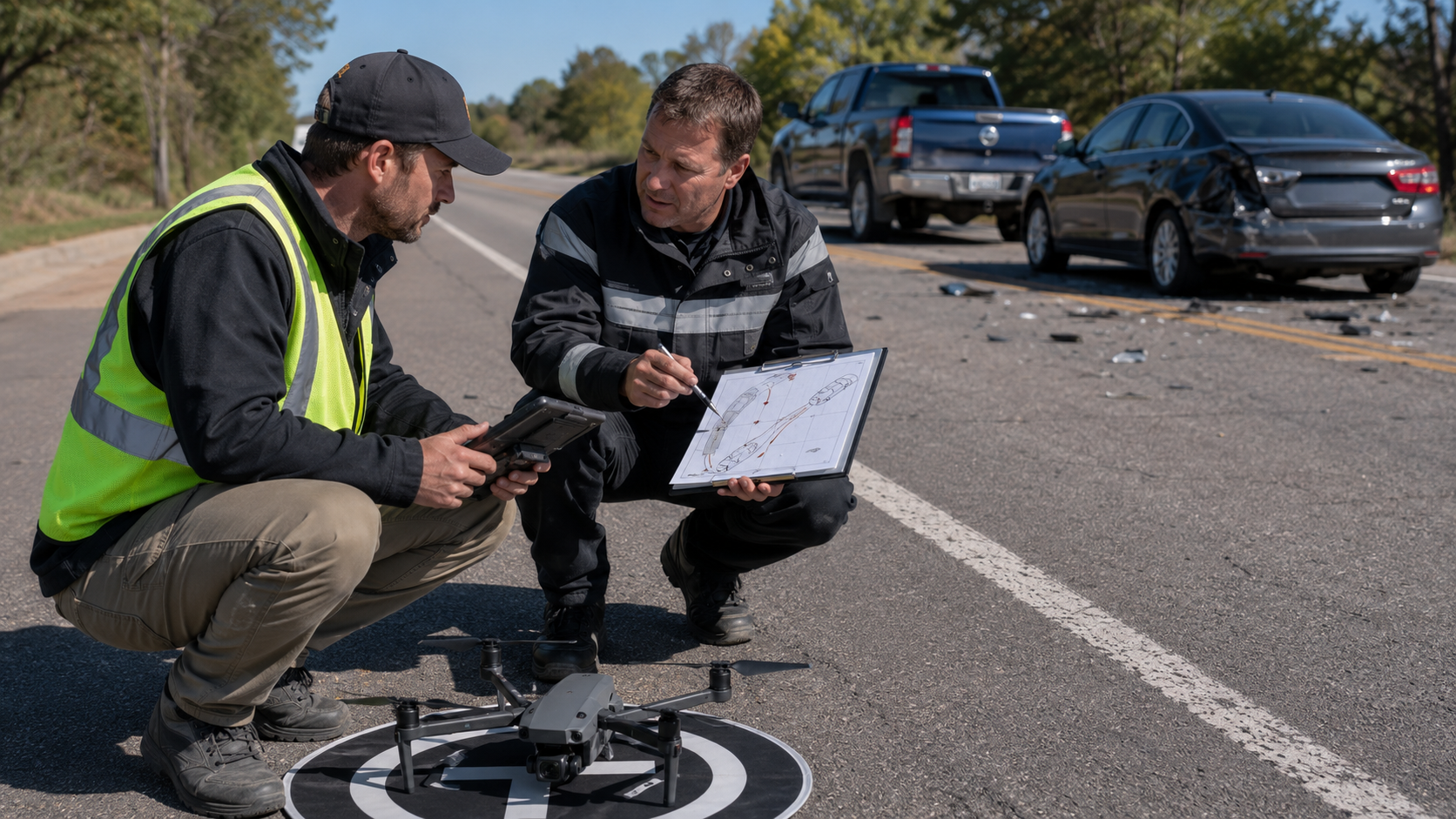
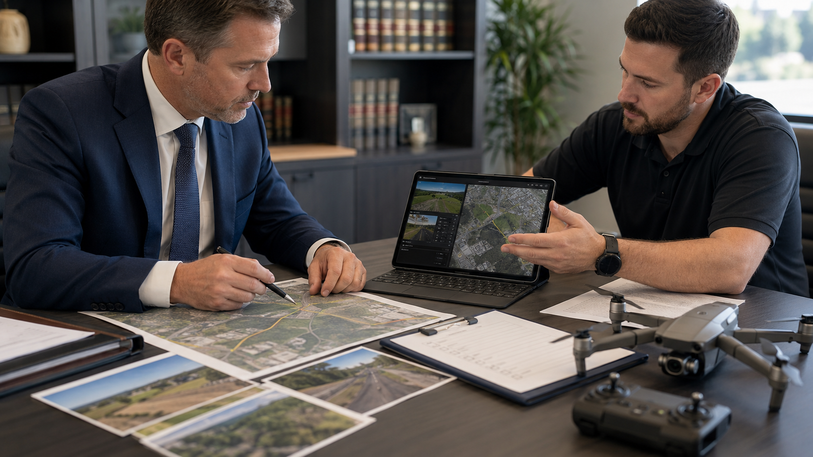
Aerial documentation and accident reconstruction may involve the same roadway and some of the same visual material. They are not the same professional service.
Understanding the distinction helps attorneys define the assignment correctly, retain appropriately qualified professionals, and avoid overstating what aerial imagery can prove.
What Aerial Documentation Does
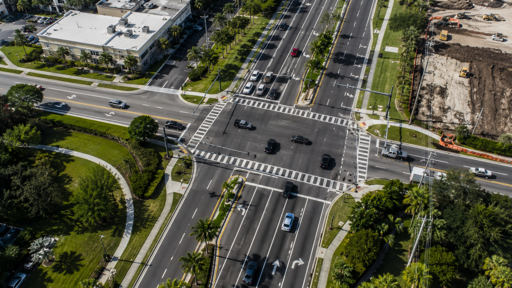
Aerial documentation creates a visual record of observable conditions at a location on a specific date and time.
Depending on the scope, deliverables may include:
· High-resolution aerial photographs
· Aerial video
· Ground-level photographs
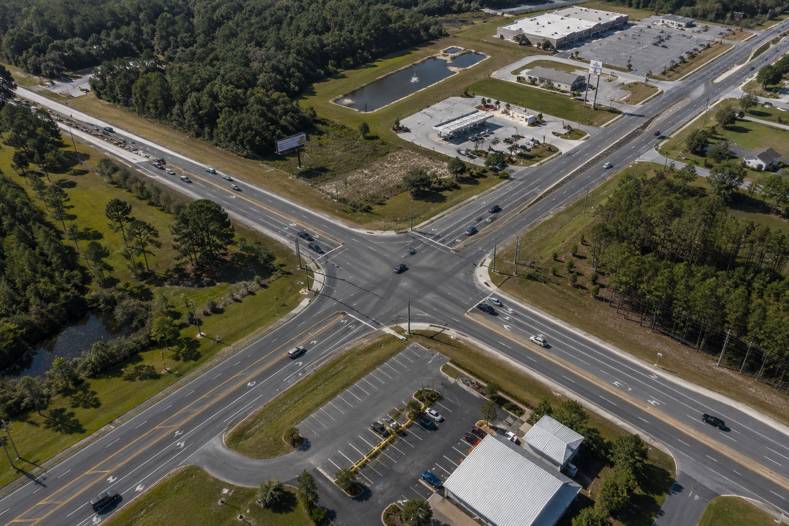
· Overall intersection and roadway views
· Traffic-control-device documentation
· Sightline-related features
· Surrounding properties and access points
· Native digital files
· File inventories
· Evidence-transfer records
· Mapping or photogrammetry products when separately requested
The documentation provider records visible conditions. The provider should not automatically interpret those conditions or provide opinions about how a collision occurred.
What Accident Reconstruction Does
Accident reconstruction is an analytical process. It may incorporate scene evidence, vehicle inspections, witness information, physical measurements, vehicle data, engineering principles, mathematics, and specialized software.
NHTSA’s Special Crash Investigations program collects information through scene inspections, vehicle inspections, and interviews. Its scene work may include skid or yaw marks, point-of-impact information, crash dynamics, and final-rest positions.
Depending on the assignment and qualifications of the expert, reconstruction may address:
· Vehicle speed
· Vehicle paths and positions
· Impact dynamics
· Collision sequence
· Skid or yaw evidence
· Vehicle damage
· Event-data-recorder information
· Perception and reaction
· Avoidability
· Causation
Aerial imagery may support that analysis, but it does not perform the analysis by itself.
What an Aerial Image May Show
An aerial image may document:
· Current roadway geometry
· Current lane configuration
· Current signs, signals, and markings
· Current vegetation and fixed objects
· Driveways and nearby access points
· The relationship between roadway approaches
· Observable conditions on the capture date
It does not independently establish:
· Vehicle speed
· Exact impact location
· Vehicle positions at impact
· Which party had the right of way
· What a driver perceived
· Whether the collision was avoidable
· Who caused the collision
Those conclusions require additional evidence and, frequently, appropriately qualified expert analysis.
Documentation Can Support Reconstruction
A properly planned aerial assignment may help a reconstructionist:
· Understand the roadway layout
· Identify areas requiring measurement
· Plan a site inspection
· Review visible traffic controls
· Orient diagrams and testimony
· Compare present conditions with historical records
· Explain the location to attorneys or witnesses
When an expert is already retained, the law firm should ask whether that expert has specific camera positions, flight paths, measurement targets, or deliverable requirements.
Clearly Identify Each Deliverable
Terms should not be used interchangeably.
Native photograph: The original file created by the camera.
Processed photograph: A copy adjusted for presentation, with the native file retained.
Annotated image: A derivative copy containing labels, arrows, or explanatory graphics.
Orthomosaic: A processed composite created from multiple overlapping images.
Three-dimensional model: A photogrammetric representation created through image processing.
Reconstruction exhibit: An analytical or demonstrative product prepared under the direction of a qualified expert.
A visually detailed map or model should not automatically be described as a survey or reconstruction.
FAA Certification Has a Defined Scope
The FAA requires a Remote Pilot Certificate to operate under Part 107. The certificate demonstrates knowledge of drone regulations, operating requirements, and safe-flight procedures.
It does not, by itself, qualify the holder as:
· An accident reconstructionist
· An engineer
· A surveyor
· A human-factors expert
· A forensic video analyst
· A legal expert
Separate professional qualifications are required for conclusions outside the scope of safe drone operation and documentation.
Define the Scope Before Deployment
Before the assignment, the law firm should identify:
· The purpose of the imagery
· The physical features to document
· Whether ground photography is required
· Whether mapping is requested
· Whether an expert has provided instructions
· Required file formats
· Delivery deadlines
· Known changes since the incident
A clear scope allows the documentation provider to collect useful material while avoiding unsupported opinions.
American Drone Team provides aerial and ground documentation. Accident-reconstruction opinions are outside the standard documentation scope unless separately contracted and performed by an appropriately qualified professional.
Sources and Authorities
1. 1. National Highway Traffic Safety Administration, Special Crash Investigations.
2. 2. National Highway Traffic Safety Administration, Crash Investigation Sampling System.
3. 3. Federal Aviation Administration, Become a Certificated Remote Pilot.
Important Notice
This article provides general information and is not legal advice, engineering analysis, or accident reconstruction.
Recent Posts