Drone Documentation Services for Attorneys & Investigators
Structured aerial documentation designed to preserve evidence, support analysis, and strengthen case development.
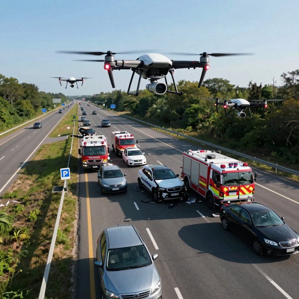
Accident Scene Documentation
Aerial documentation of accident scenes, intersections, and roadway conditions — captured to preserve critical evidence and support litigation analysis.

Aerial Photography & Video
Stabilized aerial imagery and video designed for legal review, expert analysis, and clear visual presentation in case development.
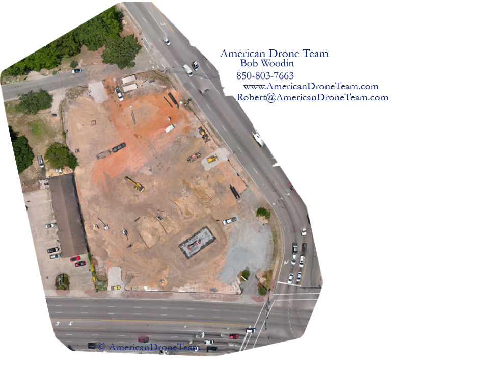
Orthomosaic Mapping
High-resolution stitched aerial mapping for accurate site measurements, spatial analysis, and detailed case documentation.

Environmental & Sightline Documentation
Documentation of property conditions, visibility, and environmental factors to support investigations, claims, and dispute resolution.
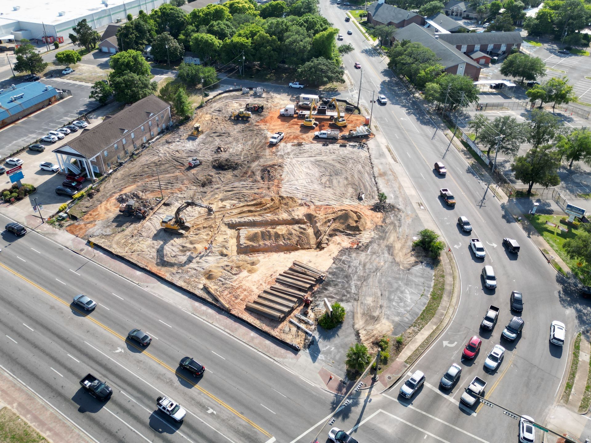
Construction Progress Documentation
Ongoing aerial documentation of construction sites to track changes, verify conditions, and support project or legal review.
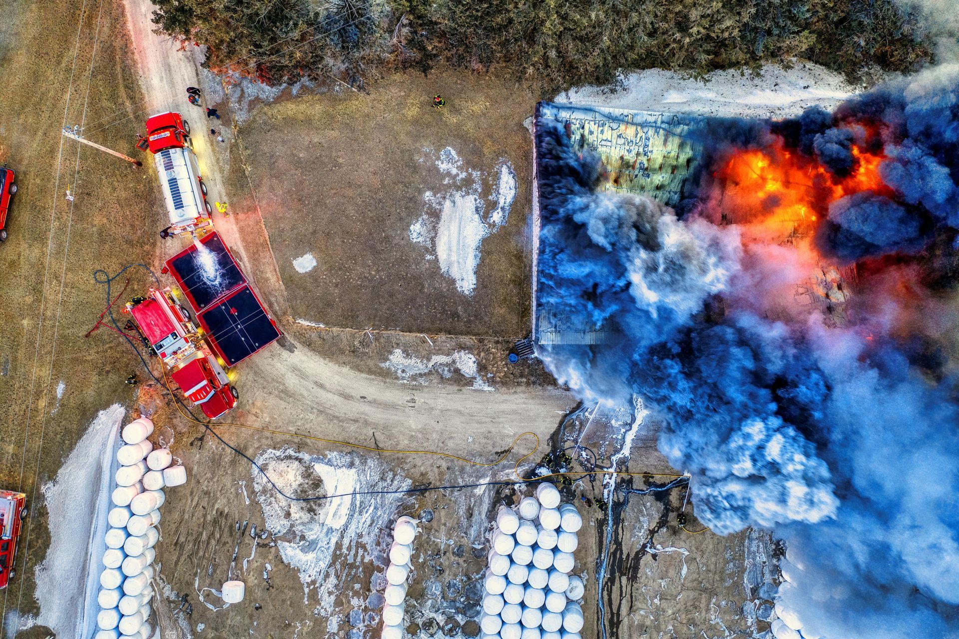
Scene Documentation for Investigations
Detailed aerial capture supporting investigative work, providing clear context, timelines, and visual evidence for case analysis.