Accident Scene Drone Documentation
Serving Fort Walton Beach, Destin, Pensacola, and throughout the Florida Panhandle
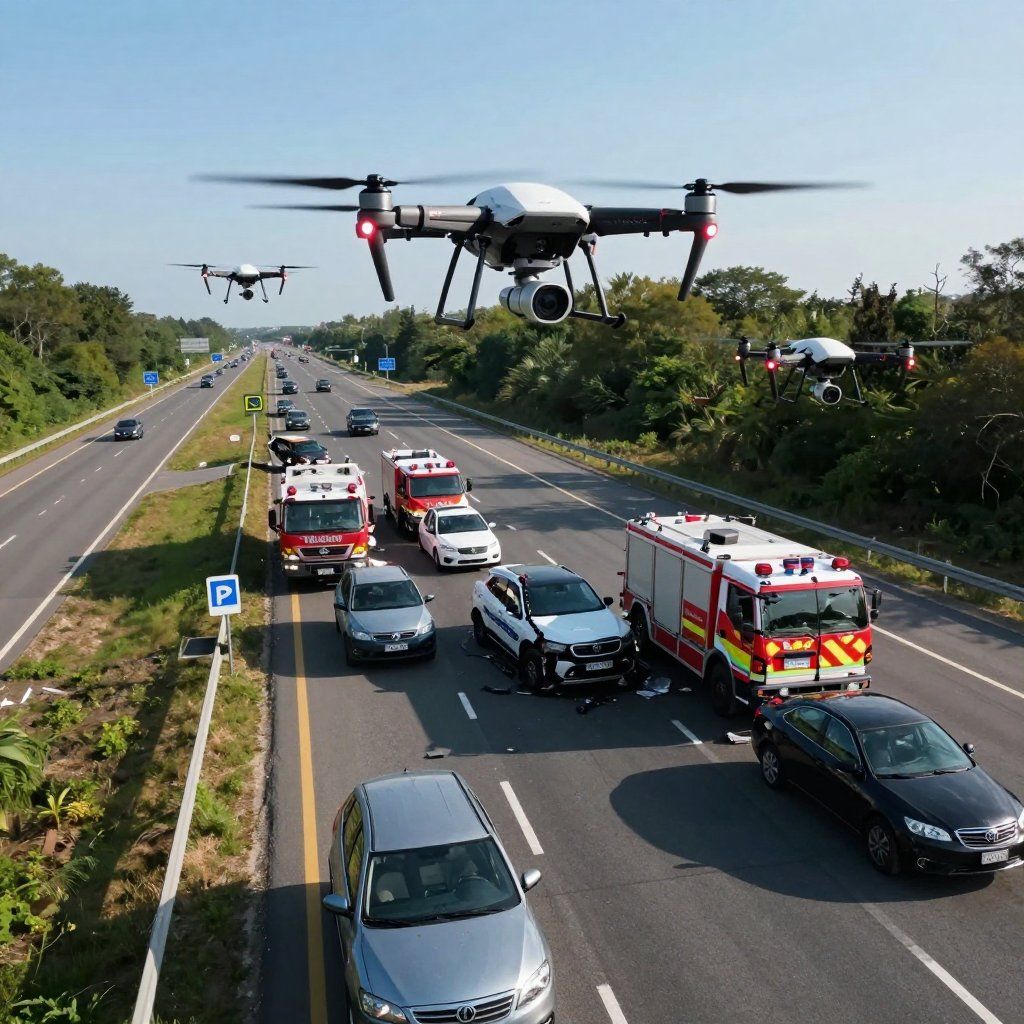
We provide rapid-response drone documentation capturing roadway conditions, vehicle positioning, and scene context immediately following an incident.
Overview
We provide rapid-response drone documentation for accident scenes, capturing roadway conditions, vehicle positioning, and environmental context.
Our aerial perspective delivers clear, unbiased visuals that support case analysis and documentation.
When This Service Is Used
- Vehicle collisions
- Intersection incidents
- Roadway condition analysis
- Post-incident scene preservation
Why It Matters
Accident scenes change quickly. Aerial documentation preserves a clear, accurate view of the environment before conditions are altered.
This perspective helps attorneys and investigators understand spatial relationships, visibility, and contributing factors that may not be captured from ground-level documentation.
Our Process
1. Initial Consultation and Location Review
We begin with an in-depth consultation to understand the specific requirements of the documentation and assess the location to ensure we are fully prepared to capture the essential details.
2. FAA-Compliant Flight Planning
We ensure that all flights adhere to FAA regulations. We carefully plan the flight paths and obtain necessary permissions to ensure the safety and legal compliance of the operation
.
3. On-Site Aerial Documentation
Once everything is in place, we execute the aerial documentation using high-quality drones, ensuring accurate, unbiased visual documentation of the scene, environment, and positioning.